Call: +91 7384718607
Call: +91 7384718607
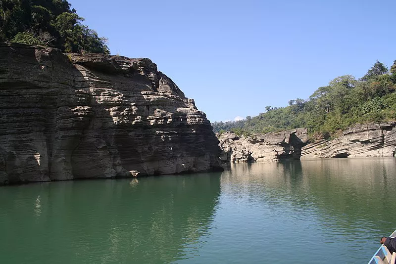

The distance from Aizawl to Lawngtlai is 296 kms through NH-54. There are Sumo services that ply daily and are the main mode of transportation to and from Aizawl. Lawngtlai is also going to be the nodal point in India for the Kaldan Multi Nodal Transport Project which will link Sittiwe port in Myanmar to the Indo Myanmar Border, providing alternate access route for shipment of cargo and contribute towards the region’s economic development.
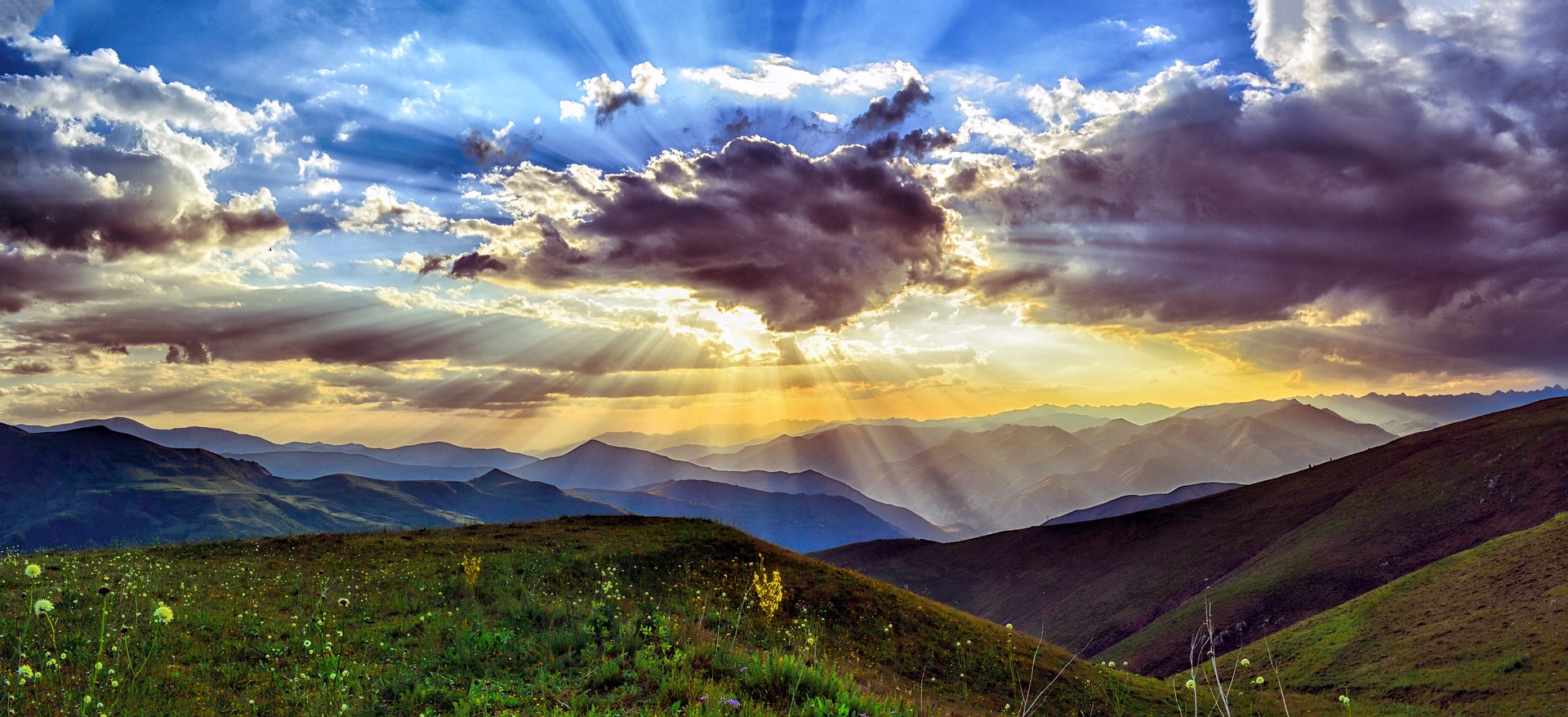
The highest peak in Mizoram, Phawngpui or the Blue Mountain is situated near the state’s south-eastern border overlooking the bend of the mighty Chhimtuipui River and the hill ranges of Myanmar. Sangau village, which is about 229 kms from Aizawl, is the closest settlement to Phawngpui. With a height of 2157 meters at the peak, the ridge stretches nearly 10 kms in north-south direction. It is surrounded by sheer precipices and cliffs, of which Thlazuang Kham is the most spectacular one. This breezy ridge is a virtual garden of beautiful flowering trees like rhododendrons and orchids of various hues, and one can also get splendid views of blue hazed hills extending to the horizon all around.
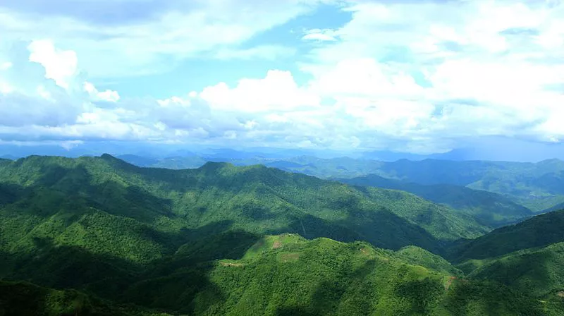
Situated about 45 km to the south-west of Lawngtlai, Ngengpui wildlife sanctuary covers 110 sq. km of dense virgin forests composed of moist deciduous and tropical evergreen forests and has one of the best forest covers among the sanctuaries of Mizoram. It is home to elephants, gaurs and other mammals and a great variety of primates. It is also rich in birdlife including peacock pheasant, imperial pigeons and hornbills.